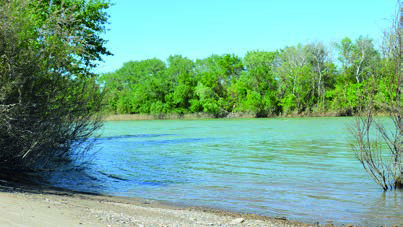
Like Stage 1, the second stage of the Green Corridor follows a linear route along the left bank of the river, shared with the Ebro Nature Trail.
The route begins in Milagro, passing through the ‘Lower reaches of the Aragón and Arga’ Special Area of Conservation. Shortly after passing the confluence of the River Aragón and the Ebro, the route enters the municipality of Alfaro (La Rioja), where you should follow the signposting for the Camino Natural until you return to Navarre. On this stretch, it is possible to take a detour to Cadreita, a town with numerous amenities, via an unmarked 3.5 km route.
Back in Navarre, you can continue towards Tudela along the left bank of the Ebro, following stage 3 of the Corredor Verde. Another option is to reach Castejón, the end of stage 2, by crossing the River Ebro via the bridge on the N-113 road, at a point where the Corredor Verde signposting is interrupted. From Castejón, the route continues to Tudela along the right bank of the Ebro, passing through Soto de los Tetones.
Ficha técnica

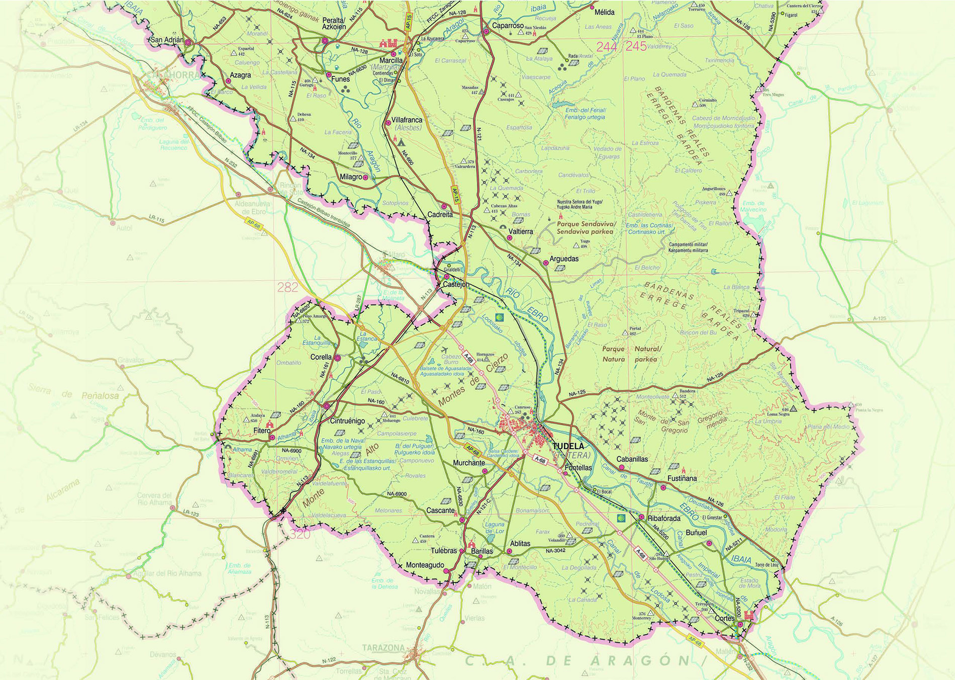


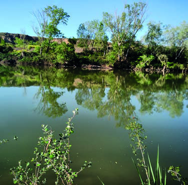
This largely flat stretch, although somewhat demanding due to its length, connects Castejón and Tudela on a route that forms a loop along both banks of the River Ebro, combining nature trails, riverside scenery and historic villages.
On the right bank, the route runs alongside the Soto de los Tetones, linking up with a section of the Camino Jacobeo-Ignaciano. It also passes through the La Mejana area, a mosaic of market gardens and groves. In its final stretch, the route crosses the Ebro Bridge and heads straight towards Tudela.
The route along the left bank starts opposite Castejón, next to Soto Alto, and winds its way through a stretch of wide meanders of the Ebro. Here lie the Sotos de Murillo de Lima, and there are turn-offs towards Arguedas (3.5 km) and Valtierra (1.6 km, via a mountain bike trail). After a rest area themed around rice cultivation, the path follows the course of the river again, running parallel to the road as far as Tudela.
The entire route lies on alluvial land formed over the last few thousand years by a natural process of sediment accumulation in the lower parts of the valley, a process intensified by human activity in recent centuries. In these flat areas, the river slows down and deposits sand and silt, particularly on the inner (concave) sides of the meanders. As the riverbed erodes the outer (convex) banks and accumulates sediment on the inner ones, the meanders slowly migrate, giving rise to fertile groves that are home to lush vegetation and a wealth of biodiversity.