
The final stage runs entirely along the right bank of the River Ebro. It consists of two large loops, offering the possibility of circular routes. The first is between Tudela and El Bocal, and the second between El Bocal and the vicinity of Cortes. The route running alongside the river follows the same path as the Ebro Nature Trail, whilst the inland route overlaps with the Ignatian Way and the Way of St James, linking the towns more directly. Following the banks of the River Ebro, you pass through areas of natural interest, notably El Bocal and Soto de la Mora. The riverside woodland runs alongside the route throughout, as does a varied array of wildlife, notably an abundance of waterbirds and birds of prey.
The inland route heads straight towards El Bocal, passing by Fontellas. From El Bocal, it continues alongside the Imperial Canal of Aragon, passing through Ribaforada and alongside the Buñuel rest area. A short stretch of track leads to the village of Cortes, the end (or start) of the route.
Technical specifications

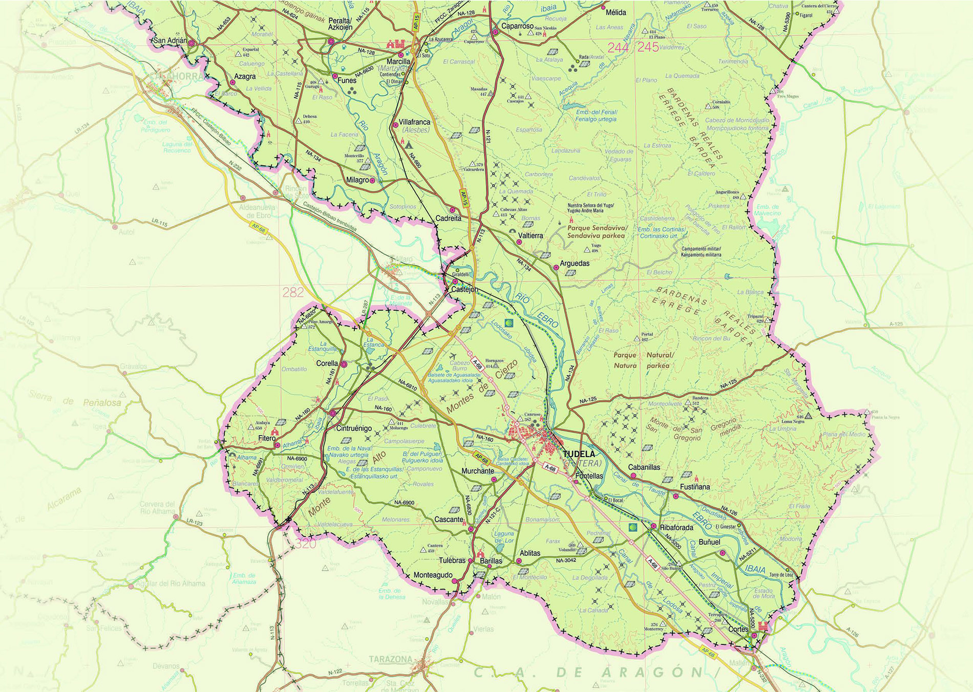

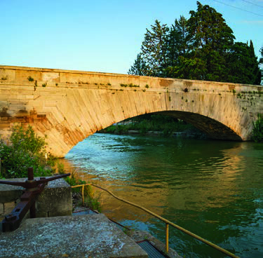

This section of the Ebro Green Corridor runs along the river’s right bank and forms a circular loop linking El Bocal with the area around Cortes, passing through the municipalities of Ribaforada and Buñuel. From El Bocal, the path runs parallel to the river, following the route of the Ebro Nature Trail, and further on continues along the service road of the Imperial Canal of Aragon, a straighter stretch that winds through the characteristic agricultural landscape of the riverbank.
This section combines nature, agriculture, hydraulic heritage and views of a unique landscape, making it ideal for exploring on foot or by bike whilst enjoying the diversity of the Ebro Valley.
The route stands out for its natural and scenic value. Near Buñuel, the route runs alongside a wide meander where there is a recreational area, a motorhome site and a Bikepoint. Here, the surroundings reveal how the Ebro riverbank has been shaped into broad meanders, whilst also offering views from the Mirador de Las Bardenas viewpoint in Ribaforada of the more rugged terrain of the nearby Bardena Negra. Characterised by large, elevated plains reaching a maximum altitude of 646 m at La Negra, this part of the Bardenas is distinguished by its pine forest vegetation and darker soils—a result of its own geological evolution—which contrast with the extreme aridity of La Blanca.
Similarly, the rest areas located along this section of the Corridor, in the municipalities of Buñuel, Ribaforada and Cortes, showcase and highlight the importance of the history and customs linked to trade, agriculture, wildlife and folklore in the region, thanks to their original theming and play equipment.