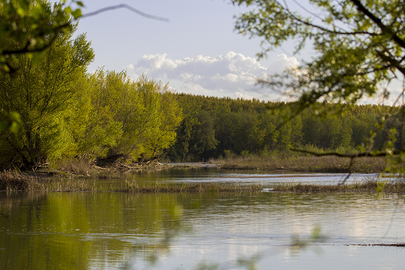
Camino Verde Ribera Alta
Tourism project being developed by the municipalities of Falces, Funes, Marcilla and Peralta.
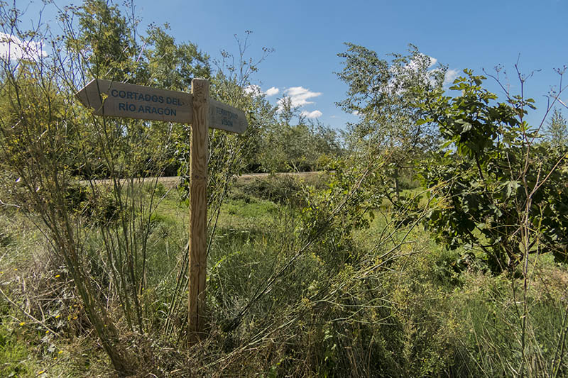
It is a circular route of about 40 km that connects the 4 towns mentioned with the common denominator of the banks of the Arga and Aragón rivers.
Although many of the sections are suitable for vehicles, some of them are difficult to access due to the various works carried out to reduce the risk of flooding, so that in some cases it is necessary to find alternative routes to the proposed route itself.
https://www.google.es/maps/@42.3345773,-1.8012432,12z/data=!4m2!6m1!1s1I4ad--AWpKtN-qnmI8FGl_ZTCb8
info@riberaaltanavarra.es