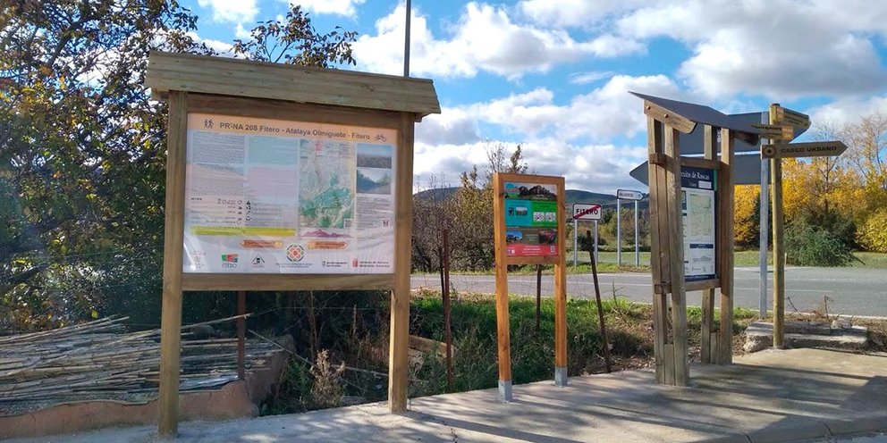
Atalaya del Olmiguete
The "Olmiguete watchtower" gives its name to Mount Atalaya, the highest in the municipality of Fitero and which currently houses a forest ranger installation.
In the Atalaya de Olmiguete there are remains of the circular plant that said watchtower had, therefore, it has a high archaeological value.
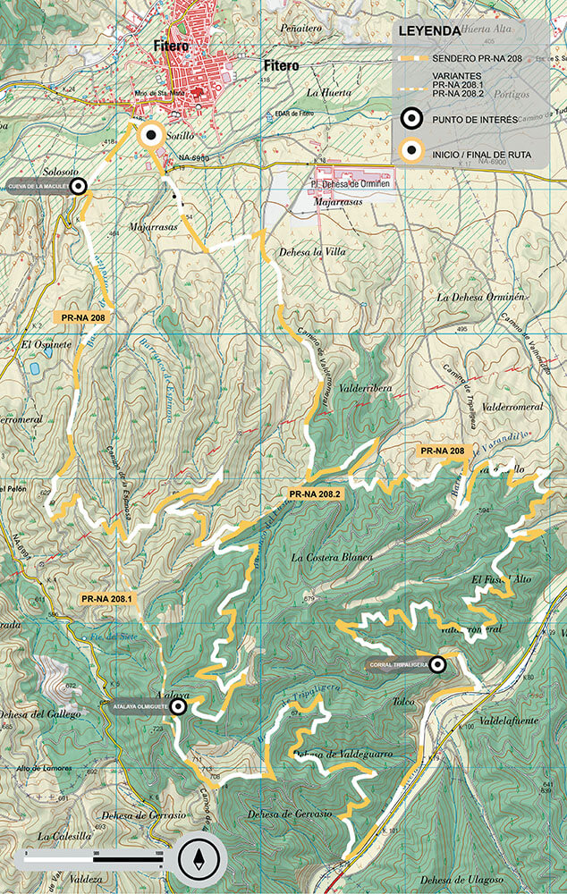
- Total distance traveled: 30.1 km
- Route type: Circular
- Estimated time:
- bike: 3h 35 min -
- Foot: 7h 5min
- Accumulated positive slope: 527 m
- Accumulated negative slope: 527 m
- Severity of the natural environment: 1
- Orientation in the itinerary: 1
- Difficulty in displacement: 1
- Amount of Effort Required: 4
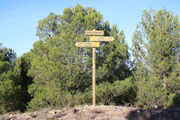
At two points on the PR-NA 208 route, shortcuts can be taken to reduce the difficulty.
These variants will be signposted as PR-NA 208.1 and PR-NA 208.2 and, taking both, the circular route is 13.7 km and 3h 20min.
948 77 66 00
turismo@fitero.es