SL-NA 318 Arga river mouth
Trail approved in March 2022
Characteristics according to MIDE criteria
- Horizontal distance: 8.8km, circular route
- Hours: 2h20
- Descent drop: 68m
- Ascent drop: 68m
- Severity of the natural environment: 1
- Itinerary Orientation: 2
- Site difficulty: 2
- Amount of effort required: 2
The main interest of this route is to observe the mouth of the River Arga in the Aragón, the "Barranco de Peñalén" and the typical riverbank groves.
It is an 8.8 km route that takes the best of the two existing ones, the one previously approved with registration number SL-NA 204 and the “Ruta de los Sotos”
The first part takes place between farm fields. At the height of the so-called “Ramal de la Mina” we see the Aragón River for the first time and it is at this moment that the route advances along its banks until it reaches the mouth of the Arga. At this point we can see the majestic “Barranco de Peñalén”. We continue with the route through the place called "El Soto Nuevo.
We turn right towards Villafranca, moving away from the riverbed and entering again between cultivated fields.
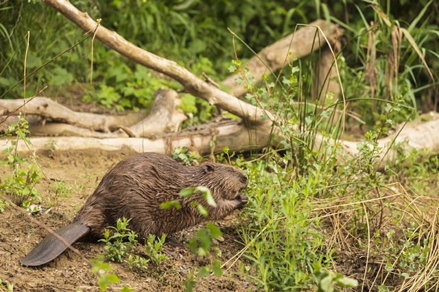
You will be able to observe different bird species on the itinerary